Urban areas are evolving at unprecedented speed, and with this growth comes the challenge of creating cities that are efficient, sustainable, and livable. At the intersection of technology and urban design lies AR in smart cities—a powerful tool that enables architects, planners, and policymakers to visualize, test, and refine urban spaces in real time. When combined with artificial intelligence (AI), AR becomes an indispensable asset in building cities of the future.
What Is AR in Smart Cities?
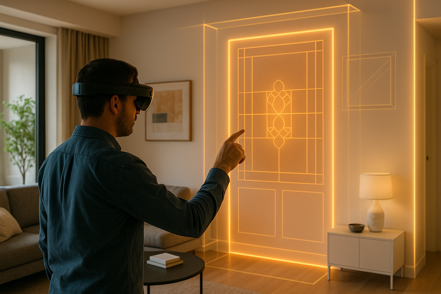
AR in smart cities refers to using augmented reality to overlay digital information, infrastructure models, and environmental data onto real-world urban landscapes. This allows stakeholders to see proposed changes, assess their impact, and collaborate on designs before implementation.
Whether it’s simulating new public transportation lines, testing traffic flow adjustments, or visualizing green infrastructure, AR ensures that urban design decisions are grounded in clarity and consensus.
How AR Enhances Smart City Planning
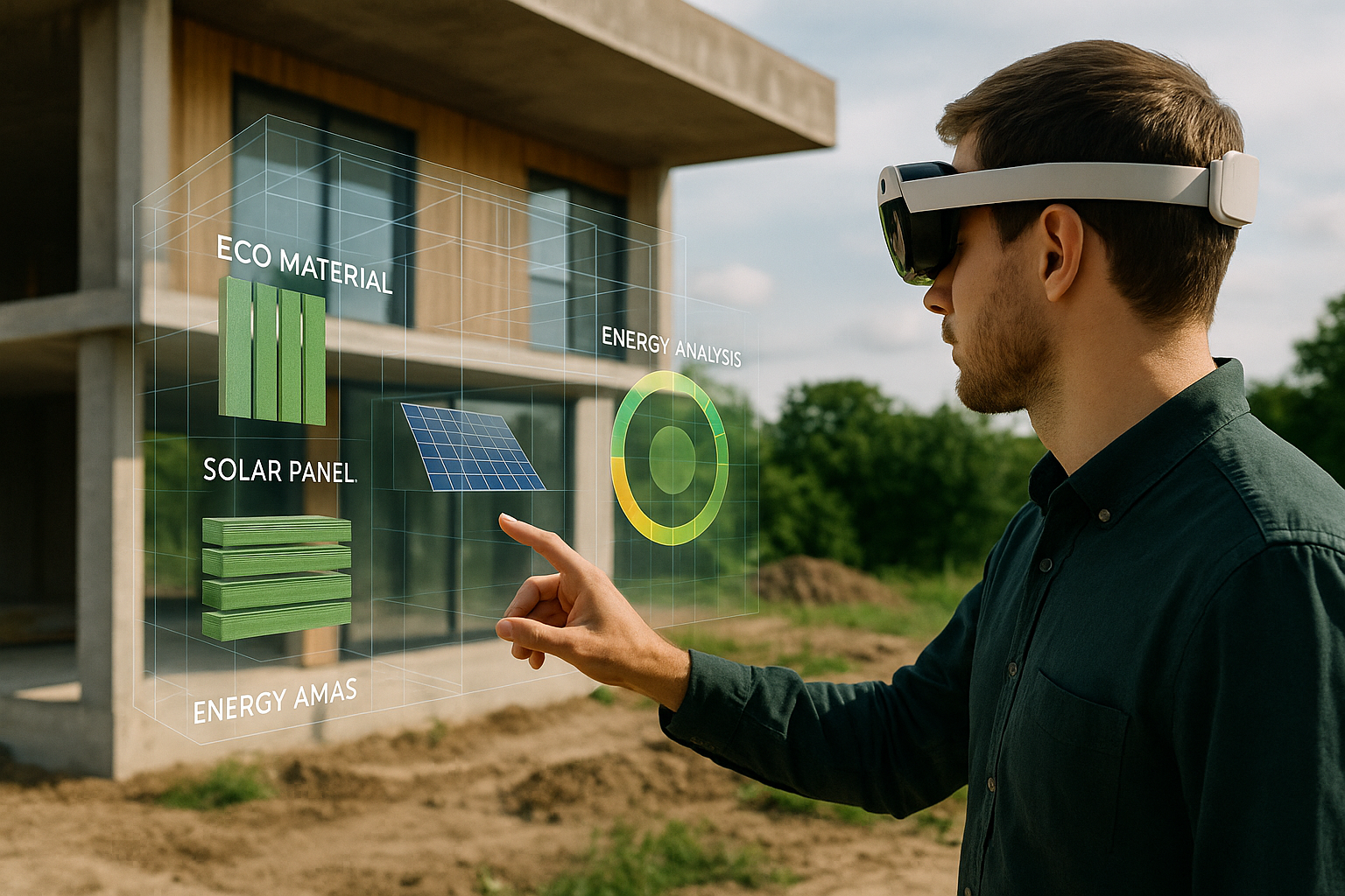
1. Real-Time Infrastructure Visualization
Architects and planners can use AR to overlay 3D models of proposed buildings, transit systems, or utilities directly onto existing streetscapes. This provides a clear understanding of scale, aesthetics, and potential challenges without costly physical models.
2. Data-Driven Design with AI Integration
When connected to AI systems, AR can display predictive analytics—such as traffic congestion forecasts, pedestrian flow, or air quality projections—allowing decision-makers to design with performance in mind, not just appearance.
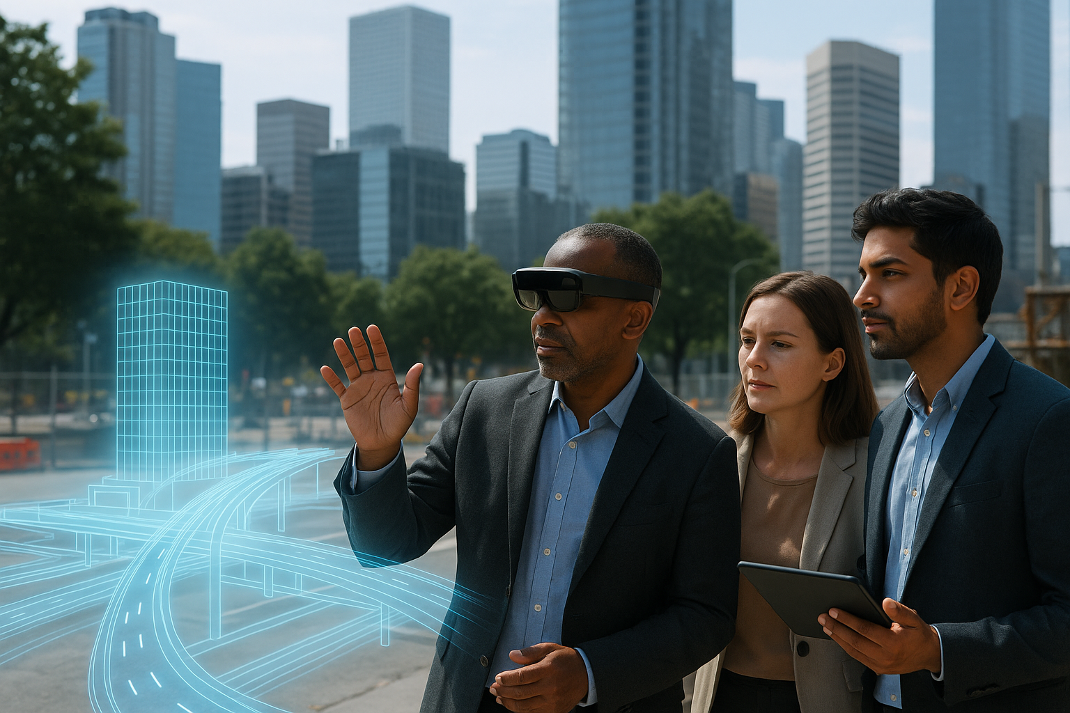
3. Enhancing Public Engagement
One of the main challenges in urban development is gaining public support. AR allows residents to experience proposed changes through interactive city walks or public kiosks, making the design process transparent and inclusive.
Applications of AR in Smart Cities
- 🚆 **Transit Planning** – Visualizing new metro lines or bike paths in the real environment
- 🌳 **Green Infrastructure** – Showing how tree planting or park additions impact shade and temperature
- 🏢 **Zoning & Development** – Comparing multiple development proposals in context
- 🛣 **Traffic Optimization** – Testing street design changes before construction
Case Study: AR for Sustainable Urban Development
In Singapore, urban planners used AR to visualize a new waterfront district. Integrated AI tools projected pedestrian traffic based on existing transit patterns, helping identify optimal locations for public spaces and commercial hubs. The result was a design that reduced congestion by 18% while increasing access to green areas.
How AUGmentecture Supports AR in Smart Cities
AUGmentecture provides architects and urban planners with the tools to:
- Upload large-scale 3D models for public review
- Share interactive city plans with stakeholders remotely
- Enable side-by-side comparisons of development scenarios
- Integrate environmental data into visualizations
By simplifying the AR workflow, AUGmentecture helps turn visionary smart city concepts into actionable, community-backed plans.
Read more about smart city innovations at Smart Cities World →
Looking Ahead: The Future of AR in Urban Planning
As AR hardware becomes lighter and AI models more accurate, cities will be able to conduct live “urban rehearsals” before committing resources. This will lead to smarter zoning, more efficient infrastructure, and improved environmental outcomes.
Conclusion
AR in smart cities is more than a visualization tool—it’s a decision-making platform. By merging immersive visuals with AI-powered analytics, architects and planners can design urban spaces that are beautiful, functional, and sustainable.