AR in urban planning is creating a seismic shift in how cities are shaped—and how communities are included in the process. For decades, public participation has depended on flat maps, dense reports, or abstract renderings that leave many stakeholders confused or disengaged. Augmented Reality offers an entirely new way forward.
By overlaying proposed developments, infrastructure changes, and zoning implications directly onto physical locations, AR empowers planners, citizens, and decision-makers to see future changes in real time and real space. The result? Greater transparency, stronger public trust, and better urban outcomes.
With tools like AUGmentecture, city governments, architecture firms, and citizen groups alike can bring planning visions to life—turning data into dialogue and maps into meaningful understanding.
Why AR in Urban Planning Matters
Urban planning is inherently complex. It involves layers of regulation, stakeholder priorities, and long-term forecasts. Yet many people impacted by these decisions—residents, small business owners, commuters—are excluded from the conversation simply because they don’t speak the language of urbanism.
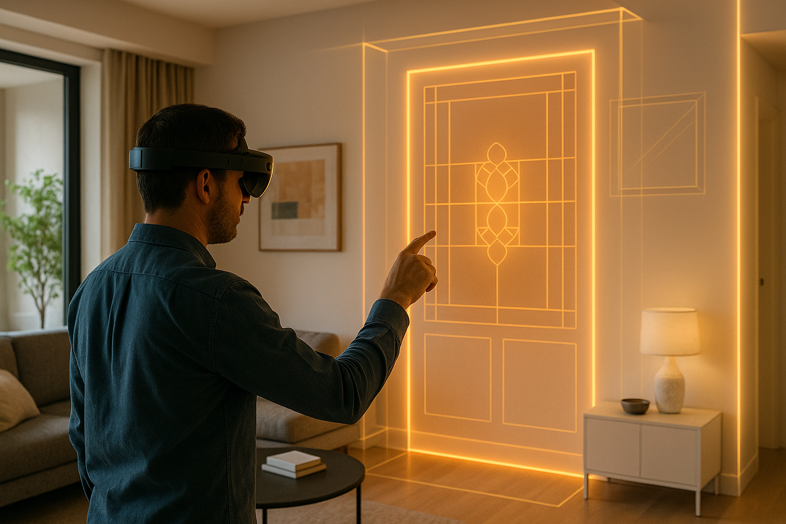
AR breaks down that barrier by making proposals visual, contextual, and immersive. Whether you’re updating a master plan or redesigning a park, AR ensures that everyone sees the same vision—and feels invited to respond.
Key Benefits of AR in Urban Planning and Community Design
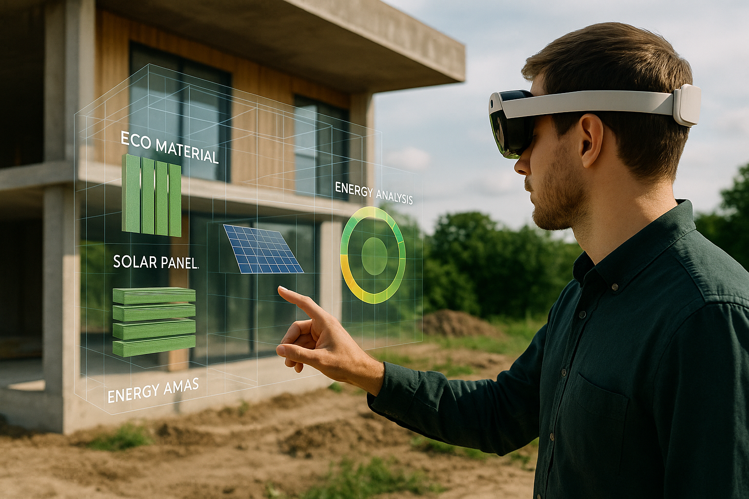
1. Visualizing Master Plans and City Proposals in AR
Instead of printed boards and 3D renders, planners can walk residents through proposed buildings, road changes, or zoning shifts using AR. This provides:
- Real-scale understanding of future developments
- Insight into how the skyline or public realm will evolve
- Opportunities to compare alternative scenarios
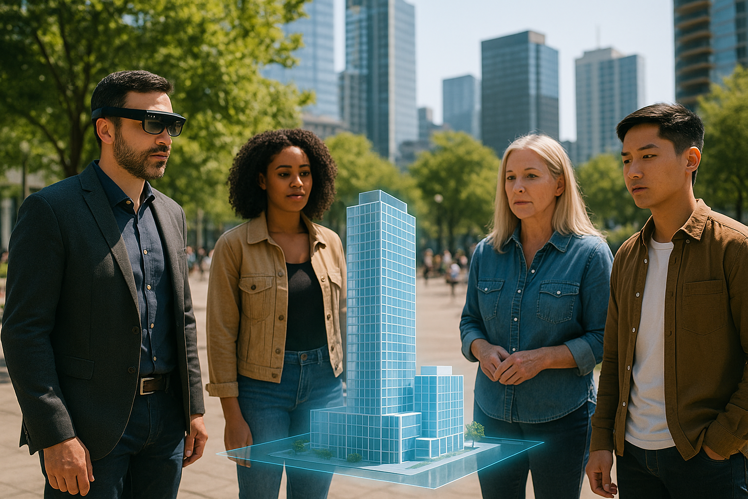
2. Boosting Public Engagement Through Immersive Experiences
Community workshops often struggle with low attendance and unclear feedback. AR can activate public spaces—letting residents see changes on their phones or tablets while standing on-site. This increases:
- Participation from younger and more diverse demographics
- Trust in government and transparency
- Informed, location-specific feedback
3. AR for Infrastructure and Transportation Planning
For road improvements, new transit lines, or bike infrastructure, AR can illustrate:
- How lanes will shift and sidewalks will expand
- Where stations, stops, or signage will go
- How pedestrian flow or accessibility will change
This helps gain buy-in from mobility advocates and everyday users alike.
Real-World Applications of AR in Public Planning
Redevelopment of Public Housing and Mixed-Use Blocks
In large-scale redevelopments, showing how density, amenities, and green space will evolve helps build trust with current residents. AR avoids misunderstandings that often stall affordable housing projects.
Historical Preservation with Contextual AR Layers
When debating whether to preserve, adapt, or demolish a site, AR can show both existing structures and proposed alternatives side-by-side. This encourages informed dialogue instead of polarized debate.
Temporary Urban Interventions and Placemaking
For pop-up parks, festivals, or tactical urbanism, AR lets designers test and present options virtually. This reduces cost and accelerates approvals.
How AUGmentecture Enables AR in Urban Planning
AUGmentecture allows planners to:
- Upload 3D models of city blocks, parks, or transit systems
- Place them at true scale using markerless AR
- Share via QR code for public walk-up access
- Add voiceovers, labels, and version comparisons
This platform is ideal for municipalities that want to boost transparency without buying expensive custom apps.
Case Study: Waterfront Redevelopment with AR
A coastal city used AR to engage residents in redesigning its post-industrial waterfront. During a month-long campaign:
- Over 1,200 residents viewed the proposed boardwalk, café plaza, and bicycle network using AR on-site
- Feedback collected in-app directly informed revisions
- Public sentiment shifted from skepticism to strong support
The city council approved the plan unanimously, citing clear communication and consensus as key drivers.
The Future of AR in Urban Design and Governance
Expect to see AR merge with AI and public databases to power:
- Real-time feedback loops during city council hearings
- Dynamic zoning overlays visible by parcel
- School, traffic, and utility data integrated into spatial models
AR will not only make cities smarter—but planning more democratic.
Conclusion
AR in urban planning is more than a visualization tool—it’s a civic engagement engine. It empowers architects, planners, and everyday citizens to co-create cities with clarity, equity, and impact.
As cities become denser and more diverse, the ability to communicate spatial ideas quickly and inclusively will become essential. AR, especially through tools like AUGmentecture, will lead the charge in transforming how we plan the future of place.